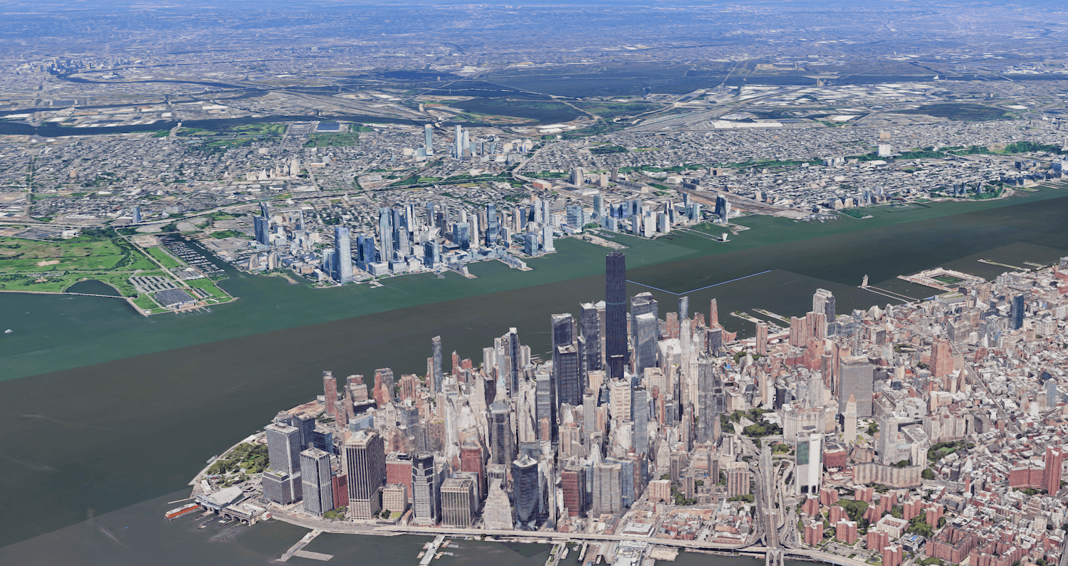
It’s so easy to simply open a webpage or app and see stunning aerial images of the entire Earth’s surface. That was made possible for anyone two decades ago in 2005 thanks to the launch of Google Earth. The service has captured billions of images through aerial and satellite cameras as well as street views and 3D visuals to provide a detailed view of the planet.
People love Google Earth, using it to conduct more than two billion searches in the past year alone, says Google. In celebration of the 20-year anniversary milestone, Google is both looking back at some of the pivotal moments in the Google Earth timeline as well as launching exciting new features.
Google Earth went live in 2005, and it went viral long before “going viral” was really a thing. It was downloaded 100 million times in just the first week. When Hurricane Katrina hit two months after launch, Google worked with the National Oceanic and Atmospheric Administration (NOAA) to provide updated imagery to help first responders on the ground. This proved that Google Earth was more than just a fun-to-use service.

There have been important discoveries, like in 2008 when scientist Chris Simpson noticed fringing coral reefs off the west coast of Australia based on the unusual formation through the Google Earth satellite imagery. These rare types or reefs provide habitat and food for marine life, and knowing this information allowed researchers to better understand what was going on in the ocean in that region. Two years later in 2010, scientists were able to use Google Earth to identify caves and fossil sites that played a role in the discovery of an entirely new hominid species called Australopithecus sediba.
In 2012, Google Earth, for the first time, captured images of something other than planes and satellites in the sky: kites and balloons in Oakland, CA. This was through a program in partnership with the Public Laboratory for Open Technology and Science. Earth View was launched in 2014 as a Chrome extension, allowing users to create their own digital wallpaper and screensavers from landscapes collected through Google Earth.
In a feel-good story in 2016, the movie Lion was released about the real-life story of Saroo Brierley. He used Google Earth images to trace his way home to India where he was able to eventually reunite with his biological mother after 25 years apart.
An interactive 4D experience debuted in 2017 using updates to Google Earth Timelapse, showing how the Earth’s surface was changing over time. It used 24 million satellite images taken over a period of 35 years.

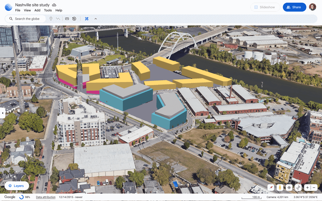
More recently in 2023, a redesign to Google Earth made it easier for professionals to evaluate building and solar design options remotely, avoiding the need for an in-person visit to do so. Historical images were added to both the web and mobile apps in 2024. Gemini was also added, providing additional tools and insight for urban planners so they could do things locate EV charger locations.
New Google Earth Features

Now, in 2025, Google Earth continues to evolve. There are two new Google Earth features coming: Historical Street View and AI-driven insights.
Last year, #somewhereonGoogleMaps started trending. People were using the feature to locate loved ones in imagery. Starting today, you can now access the feature directly from Google Earth.
In the coming weeks, Google Earth will also add AI-driven insights for professional users in the U.S. These will include data like tree canopy coverage for cities so businesses know what areas are more heavily shaded, for example, and thus can benefit from cooling approaches. There will also be details like land surface temperature for seeing a heatmap of which areas in a city might be hotter, then factoring this information into urban planning.
Here’s to another 20 years of Google Earth. It will be interesting to see what it looks like in 2045!